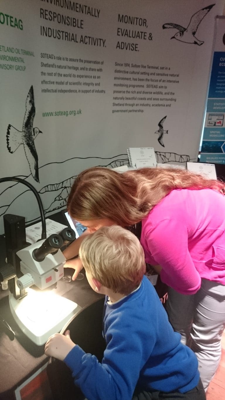
The SOTEAG oil spill response maps were originally produced under the auspices of SOTEAG over 10 years ago for inclusion in the Sullom Voe Harbour Oil Spill Plan (SVHOSP) and the Shetland Marine Pollution Contingency Plan. The maps are now updated annually to ensure they are fit for purpose.
The purpose of the maps is to identify areas that are sensitive in the event of an oil spill and how best to protect them, the maps refer to Shetland only. The maps can only be used to inform oil spill response and SOTEAG reserves copyright and database rights for all datasets apart from: fishing (dredging, trawling , creeling) owned by NAFC Marine Centre and archaeology owned by Shetland Amenity Trust.
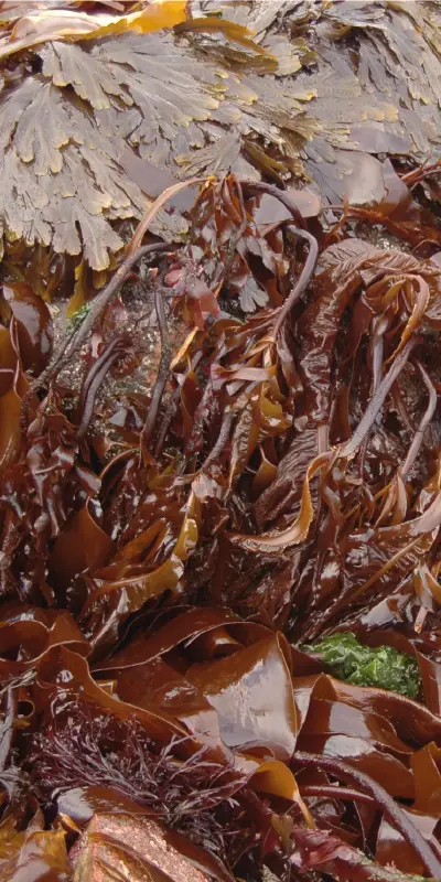
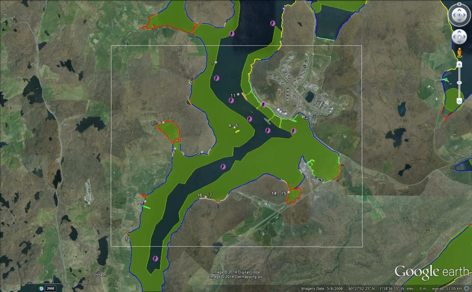
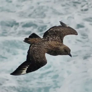
Map 6 - Sullom Voe and Jetties. The following layers are displayed: coastal protection/clean-up priorities, birds Oct-Mar and Seapen habitat.
The maps were created by Marine Atlas Ltd who worked closely with a working group made of:
SOTEAG
WRCC
Sullom Voe Port Authority
Marine Scotland
Maritime and Coastguard Agency
BP
Shetland Islands Council
Scottish Environment Protection Agency
Shetland Islands Council
Scottish Natural Heritage
Shetland Amenity Trust
Access the oil spill sensitivity maps
The oil spill sensitivity maps are available to essential users in three formats:
Layerable PDFs (for paper use)
GIS files
Google Earth files
If you believe you are an essential user and wish to access the most recent files please email soteag@st-andrews.ac.uk stating the reason you require access. If accepted you will be given access to the maps via a Teams group.